
Our Data
Datasets that identify and rate beautiful places, built on peer-reviewed science from the University of Warwick and the Alan Turing Institute and featured in The Economist, BBC, and Wired.
Beautiful Places POIs & imagery
UK: 115k+ POIs with images | API and MCP | Worldwide in development
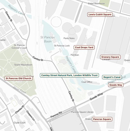
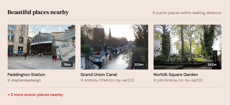
Show people what a neighbourhood actually looks and feels like. A curated dataset of beautiful Points of Interest across the UK, from coastal views and parkland to historic architecture and hidden urban gems. Each POI includes title, coordinates, and thumbnail image.
Our AI, trained on 1.5 million+ human beauty ratings, finds beauty at scale: major attractions and off-the-beaten-track discoveries alike. Query by lat/lng, neighbourhood, or postcode sector.
Free data for researchers We're happy to provide our data free of charge to academic researchers investigating the relationship between beauty and social, community, or economic wellbeing. If your work explores how beautiful places affect quality of life, public health, community cohesion, or local economies, we'd love to help. Get in touch below and tell us about your project.
How teams use this data
-
Property Platforms – Give buyers a feel for the area, not just the house
Property platforms use our POIs to show the most scenic spots near a listing: the park down the road, the canal walk, the village green. It turns a pin on a map into a sense of place.
-
Travel – Surface hidden gems, not just the obvious attractions
Our AI finds beauty off the beaten track as well as the headline spots. Power "explore nearby" features, scenic route planning, or curated destination content with ready-made imagery.
-
Relocation – Help people picture life in a new area
Relocation platforms use our data to visually represent what makes a neighbourhood attractive, going beyond statistics to show the places that make an area worth living in.
Our Other Datasets
-
Neighbourhood Beauty Ratings
UK coverage | Postcode sector, ward, or custom boundaries | API and MCP
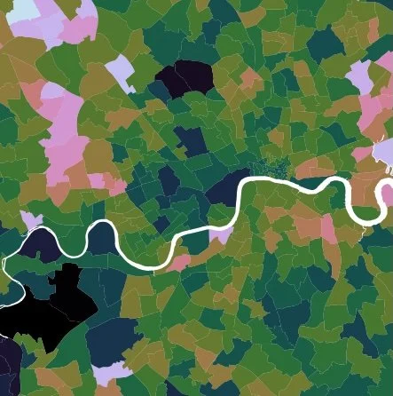
Beauty scores for neighbourhoods across the UK. Our AI was trained on 1.5 million+ human ratings, then analysed over 8 million geographically representative images to score how scenic and visually appealing each area is. Each score comes with a selection of the highest-rated images from the area, so you can see what's driving the beauty rating. Use it for real estate analysis, property valuation, quality of life studies, retail location planning, or advertising targeting.
-

Greenspace Quality Index
UK coverage | API and MCP
Green space scores for neighbourhoods across the UK. We use Ordnance Survey Open Greenspace to identify the parks, gardens, and green spaces in each area. Our AI, trained on 1.5 million+ human ratings, then rates the images within those boundaries to score how beautiful each area's green space is. Each score comes with example images of the green space, so you can see what's behind the rating. Use it for real estate analysis, property valuation, quality of life studies, retail location planning, or advertising targeting.